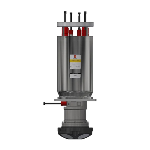
About HAIN Subsea 7000 with APOS Survey Hydroacoustic Aided Inertial Navigation System
The HAIN Subsea 7000 with APOS Survey Hydroacoustic Aided Inertial Navigation System is an advanced solution designed for topographic and underwater surveys. Crafted for commercial and scientific applications, it delivers high GPS accuracy, ensuring precise positioning for intricate survey operations. The system integrates depth data from pressure sensors, enabling reliable measurement of submersed terrains. With an exceptional long-life battery backup extending over months, users can depend on uninterrupted performance during extended underwater missions. Engineered for robust usage, it is an ideal choice for professionals requiring dependable and technologically sophisticated tools for underwater exploration and mapping.
FAQs of HAIN Subsea 7000 with APOS Survey Hydroacoustic Aided Inertial Navigation System:
Q: What is the primary application of the HAIN Subsea 7000 system?
A: The system is designed for topographic and underwater surveys, tailored for commercial and scientific purposes.
Q: What ensures the accuracy of underwater measurements in this system?
A: The system uses depth data from pressure sensors and achieves high GPS accuracy for precise underwater survey operations.
Q: How long is the battery life of the HAIN Subsea 7000?
A: The system features long-life battery backup that lasts for several months.
Q: Is this product suitable for scientific underwater mapping?
A: Yes, it is specifically engineered for commercial and scientific underwater survey applications.
Q: What type of businesses utilize this product?
A: It is commonly used by exporters, manufacturers, suppliers, and traders in underwater survey and navigation sectors.
 Send Inquiry


 Send Inquiry
 English
 Spanish
 French
 German
 Italian
 Chinese (Simplified)
 Japanese
 Korean
 Arabic
 Portuguese